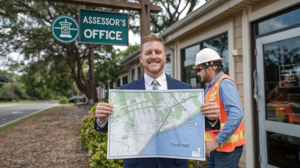
Property appraisal and assessment are essential to real estate management, serving as the foundation for sound decision-making. As cities expand and become more complex, professionals need smarter tools to keep up. Parcel maps stand out by offering a detailed visual overview of land boundaries, ownership, and land use. This article explores how these maps support appraisers and assessors in performing their work with greater accuracy, speed, and confidence in today’s evolving urban environments.
Understanding Parcel Maps
Property parcel maps are complex geographic information showing divided land in a region. These maps define the precise perimeters of all the land parcels and are essential to know about property size, location, and owner. They are a crucial tool for everyone in the real estate industry, helping make informed choices and accurate assessments.
Making Valuation More Accurate
When valuing property, it matters that property appraisers do their work correctly. Important data that helps us estimate your property value is found in parcel maps. These maps allow for exact boundaries and dimensions, which removes any guesswork so that appraisers can make informed decisions. They allow comparables to line up, and it is easier to understand neighboring property values, allowing for comparative market analyses by appraisers.
Enable Streamlined Evaluations
Parcel maps also offer significant advantages to property assessors. They are helpful for assessment because they provide information about every parcel. Accurate data about property size and limits makes it easier for assessors to estimate tax obligations. In addition, they can trace inconsistencies in land maps, allowing for equitable property taxation.
Supporting Urban Planning
Urban planners also use parcel maps to develop strategically. These maps show characteristics of land use to give the planner a basis for decisions based on community needs. Understanding property boundaries allows planners to create infrastructures that maximize space. Together, appraisers, assessors, and planners help build sustainable urban development.
Aiding Legal Clarity
There could be legal disagreements between your neighbors on the ambiguity in the boundary or property ownership. They are key documents in the resolution of such disputes, and parcel maps are no exception. These maps specify boundary information in a manner that affirms the legal clarity that reduces potential disputes between neighbors. Therefore, it is important for the peace of property transactions and ownership.
Working on Conserving the Environment
Parcel maps also play a role in protecting the environment. These maps then take the information and highlight which land parcels have one of these zoning regulations on them, which can assist appraisers and assessors in identifying conservation areas. Such awareness enables practitioners to promote sustainable land use practices by finding an equilibrium between development and the environment.
Technological Integration
Now, modern parcel maps are powered up with technology and serve an even greater purpose for professionals in the real estate industry. GIS is no longer static map analysis; it keeps changing data regarding properties. The technology integration here enables sufficient, real-time data access for appraisers and assessors, allowing them to make effective decisions as appraisers and assessment professionals.
Making Publicly Available Information More Accessible
Transparency in property transactions is key to public trust. Parcel maps create transparency and provide public property information. A guide to improve the eBay readership can help individuals make more informed real estate decisions by understanding property lines, owner information, etc. Such accessibility creates a sense of accountability among property professionals for the work they do, keeping them ethical.
Strengthening Stakeholders with Collaboration
Parcel maps help multiple entities in the real estate sector collaborate. They offer a common baseline for appraisers, assessors, planners, and legal professionals to collaborate successfully. This close collaboration creates a comprehensive approach to property management, helping communities and encouraging sustainable development.
Conclusion
Parcel maps are essential tools for property appraisers and assessors, improving accuracy, efficiency, and transparency. Such maps can provide comprehensive geographic information, allowing rational decision-making for purposes such as urban planning, legal backup, and preserving the environment. Improved integration of parcel maps with advanced tools will continue to revolutionize the real estate sector as technology continues to evolve, leading to better and sustainable property management in communities around the globe.

